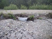
 To help prioritize how to spend limited fish habitat restoration funds, CRWP has developed a protocol that assigns numerical values to culvert conditions (constriction, perch, velocity) and ecological conditions (i.e. fish presence/absence and quantity/quality of fish habitat) associated with road crossings.
This scoring system generates a number score for each culvert and provides an objective ranking of potential fish passage improvement projects. This information helps partners identify the potential projects that have the most ecological benefit to the aquatic system and make the most of limited resources. We use this culvert prioritization protocol as a planning tool and for facilitating discussions with permitting agencies, property owners and land managers, and the Alaska Department of Transportation & Public Facilities.
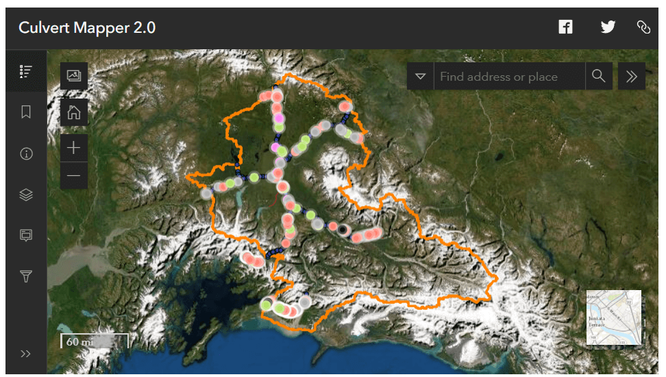
This data has been integrated into an online mapping tool to provide a visual tool for interpreting the prioritization data and assisting with planning efforts. In 2022 we updated the Culvert Mapper into a new online mapping tool.
CRWP (2011).Prioritizing Fish Passage Improvement Projects in the Copper River Watershed.
In 2022 we updated the Culvert Mapper so it will be easier to continue to update over time. If you have any feedback or questions, contact Ashley.


